
World News
Queensland braces for a peak storm day on Monday as the Mary River rises towards major flood level
By Staff Writer | 25 October 2026
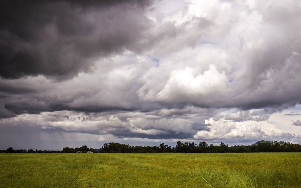
A line of severe thunderstorms stretched across four states and territories in eastern Australia on Sunday 25 October, after a week in which parts of the Sunshine Coast had up to 400mm of rain. The Bureau of Meteorology names Monday as the peak storm day for south east Queensland.
The Bureau of Meteorology warned that severe thunderstorms with hail, damaging winds and flash flooding were likely on Sunday afternoon across southern Queensland, western New South Wales, the Australian Capital Territory and eastern Victoria. It issued a severe thunderstorm warning for Sydney, greater Wollongong and parts of the Blue Mountains, Hawkesbury and Gosford areas. Gusts of up to 100km/h were recorded in central western New South Wales around midday.
In south east Queensland, the Mary River at Tiaro, north of Gympie, was rising and could reach the major flood level on Sunday evening and into Monday. Parts of the river's catchment have had more than 300mm of rain in the past week. Gympie Regional Council said the Kidd Bridge into the town was likely to close at 17:30 local time because of rising water. Eight flood warnings were in force across southern Queensland on Sunday, and water lay over roads around Gympie, the Noosa hinterland and the Fraser Coast.
There's still multiple days of storms and potentially severe storms to come, with Monday probably the peak day in terms of south-east Queensland risk.
Felim Hanniffy, Senior Forecaster, Bureau of Meteorology
Why the rain has stayed
Bureau meteorologists say a high pressure system has sat over the Tasman Sea for about ten days, blocking weather fronts and holding storms and rain over southern Queensland. A cold front moving in from the west on Sunday was drawing tropical moisture down from the north and pushing the band of storms east, in a line running from the Snowy Mountains to the Queensland border. Some areas have had three times their usual October rainfall, after a very dry September.
The bureau expects Tuesday to be calmer, although the risk of severe storms may not fully pass until about Thursday.
Flooding inland
In the Central Highlands, an emergency warning for flash flooding around the Theresa Creek Dam catchment was declared on Saturday and lifted on Sunday. Isaac Regional Council's mayor, Kelly Vea Vea, said 157mm had fallen within 24 hours and that conditions around Clermont were starting to settle. Moderate flood warnings remain on the Warrego and Weir rivers.
Monday is forecast as the peak storm day for south east Queensland, with calmer weather expected from Tuesday.
Water over roads and bridge closures around Gympie and the Fraser Coast mean access to sites and supply routes in the region is likely to stay uncertain until the rivers fall.