
Technology and AI
Official figures that move commodity markets are collected by methods a farmer says have not changed since the 1970s, and imagery and machine learning are to be tried against them
By Staff Writer | 2 September 2026
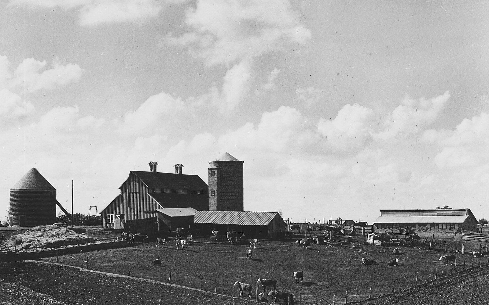
The United States Department of Agriculture said on 1 September that it will run a pilot using improved satellite imagery, geospatial tools and crop models alongside its existing farmer surveys, and will look at artificial intelligence and machine learning. The estimates in question are relied on for prices and for federal payments, and their accuracy has been publicly questioned by the people they are collected from.
The American crop acreage and yield estimates are among the few official statistics that reliably move a market on the morning they are published. They are produced by the National Agricultural Statistics Service, they feed into the prices growers are paid and into federal farm programmes, and after the January final estimates were released, grain prices that were already low fell by more than 5 per cent.
They are also, on the account of the people who supply the data, collected by methods that belong to another era.
Some of these methods have not changed since the 1970s.
Jeff Mundorf, an Iowa farmer at the Farm Progress Show
What is being tried
Speaking at that show, at Boone in Iowa on Tuesday, the Agriculture Secretary set out a pilot intended to test the existing numbers against observation rather than replace the surveys outright.
We will conduct a pilot to evaluate the use of improved satellite imagery, working with NASA and other federal government agencies across the country to figure out how we can make this reporting more accurate.
Brooke Rollins, United States Secretary of Agriculture
The design is a hybrid. Geospatial tools and crop models will run alongside the farmer polls, not instead of them, and the department said it would also examine artificial intelligence and machine learning. A separate strand is aimed at the response rate rather than the measurement: putting the polls online, and pre-populating fields with information the department already holds, so that a farmer is asked to confirm rather than to compile.
The department has attempted this before. Some of those earlier efforts took years to arrive, which is the context for the only commitment on timing anybody offered.
We're gonna have results by the end of the term, for sure.
Scott Hutchins, under secretary for research, education and economics at the United States Department of Agriculture
No detailed timeline was given.
Why a construction reader should care
Because the shape of this is the shape of a dispute our readers are already having. A measurement regime is relied on by everybody, has not been re-based in decades, and depends on returns made by the parties whose money turns on the answer. Somebody then proposes to check it against remote observation, and the argument that follows is not about the technology at all. It is about which record governs when the two disagree.
Progress measurement on site is heading the same way. Drone and satellite capture, point clouds and model-based quantities are increasingly run alongside the surveyor's return, and the contracts they sit under were almost all written on the assumption that there would be one method of measurement, described in the contract, producing one number. Where a remote method and a contractual method produce different quantities, the question of which prevails is answered by the drafting or it is answered by an adjudicator.
The second point is about degradation. The criticism the department is responding to did not begin with the technology. It began with staff cuts, and with unusually large differences between initial and final estimates of the corn acreage planted in 2025. Automated collection is being offered as the remedy for a data problem that was created by taking people out of the collection. That argument will be familiar to anyone who has watched a project team thinned out and then handed a new reporting system.
The pilot is worth watching for one reason above the rest. If imagery and models turn out to give a materially different acreage from the returns, the interesting question will not be which is right. It will be how long the old number goes on being the one that gets paid on.